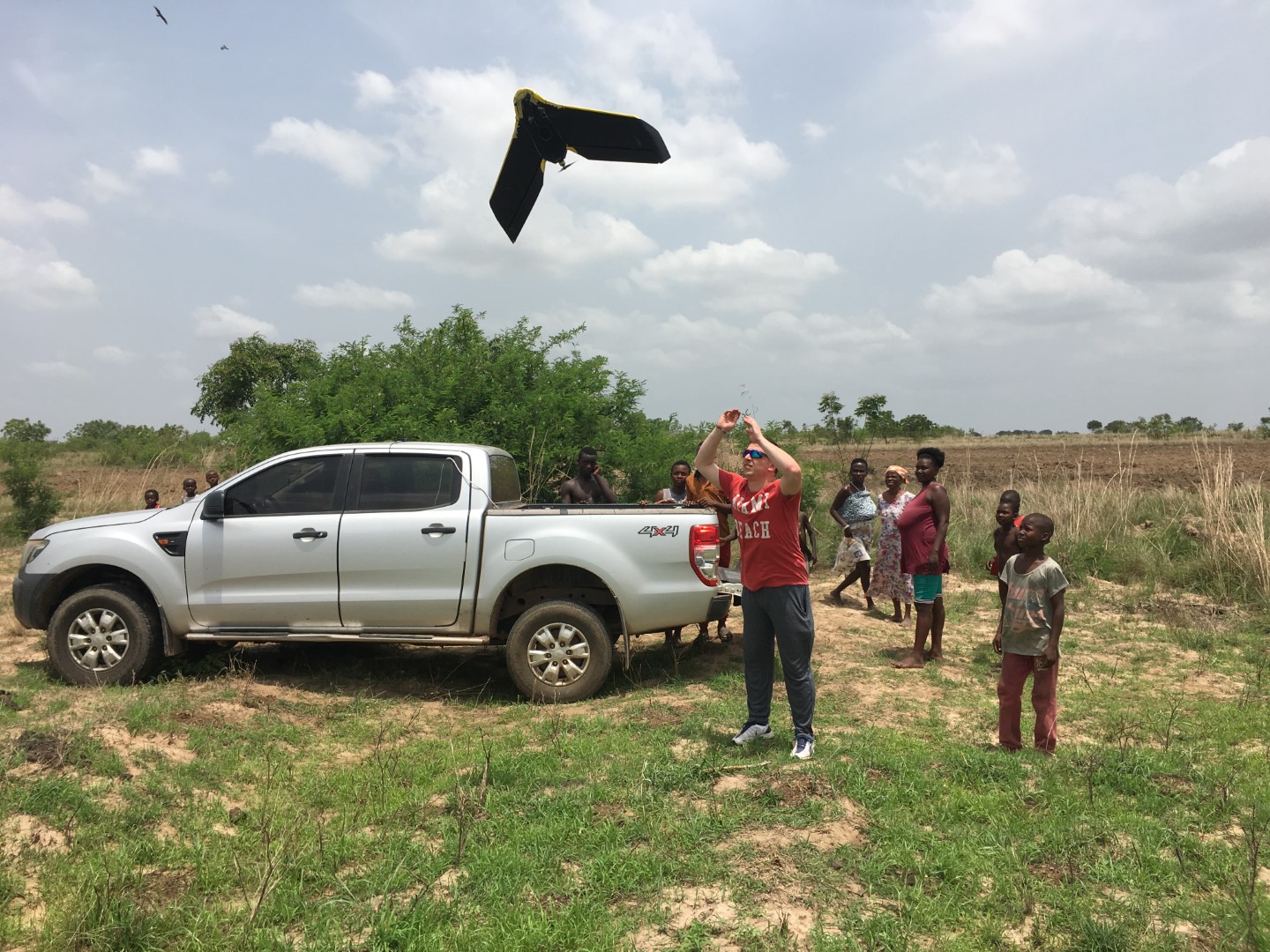
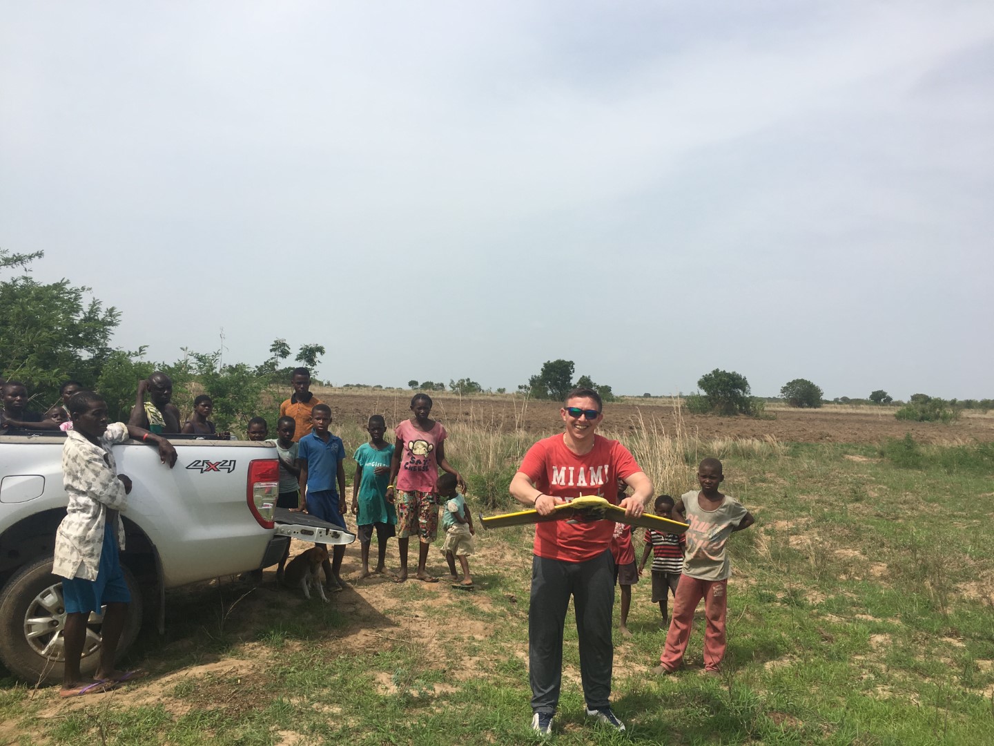
Drone survey for wind farms in Ghana

After having carried out a comprehensive drone survey for our wind farms already in 2014, now the time has come to refresh this survey for our most advanced projects Ayitepa and Konikablo.
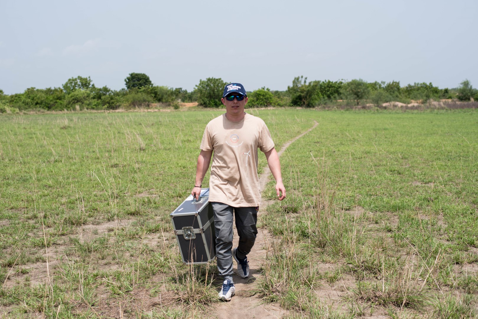
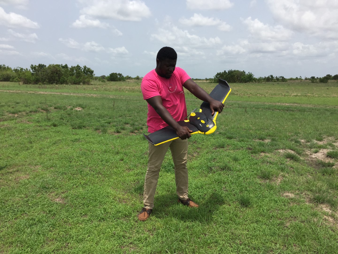
The whole area, on which our wind farms will be erected, is currently being covered by multiple drone flights which are being carried out by our engineers. Following this, also our other projects in Ghana, the wind farms Madavunu, Koluedor and Amlakpo will be surveyed.
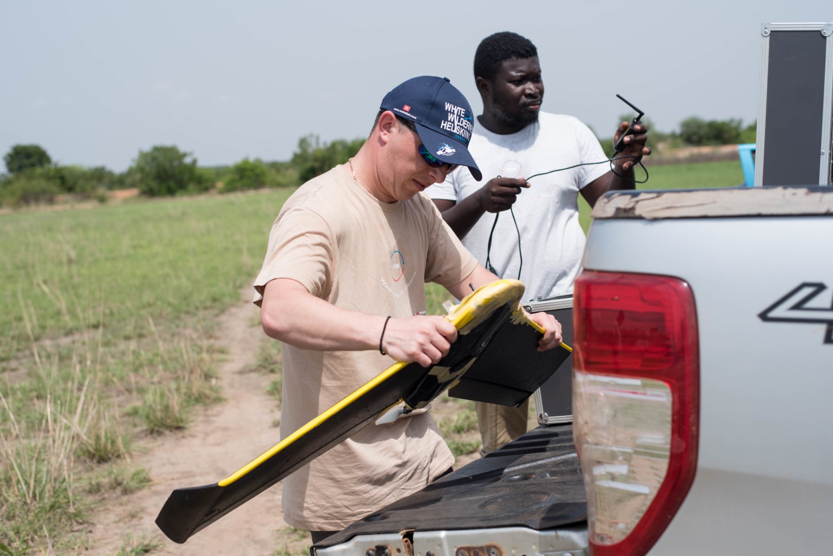
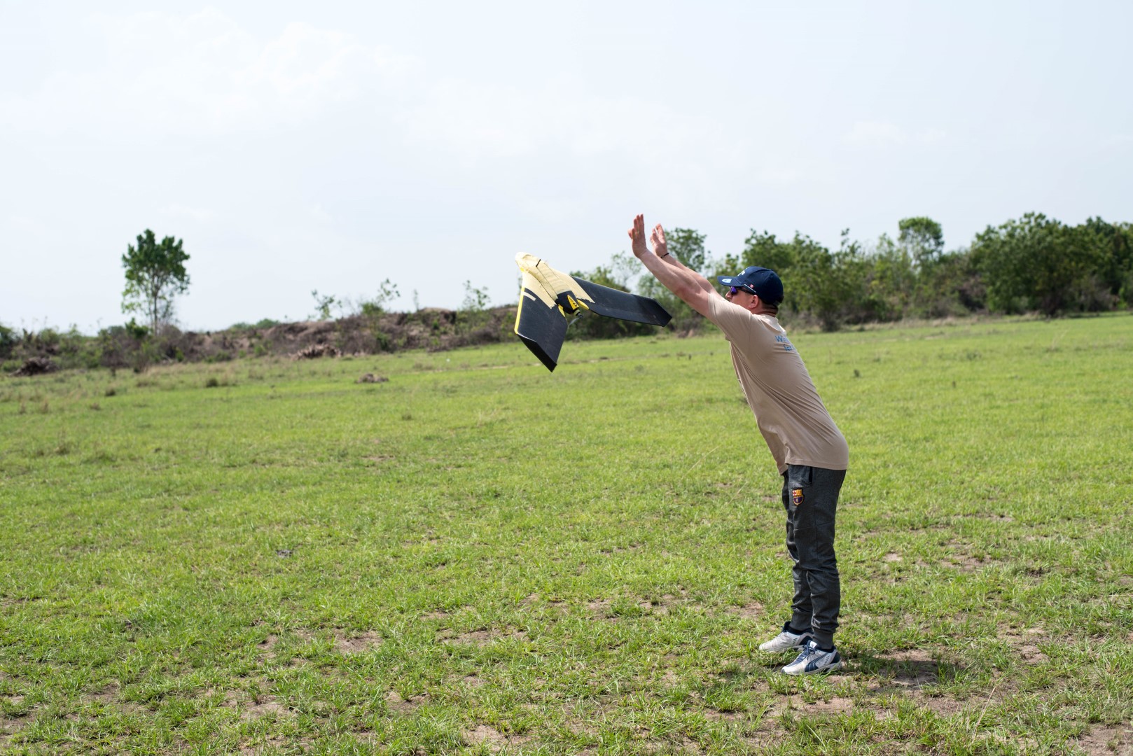
Our drone, which is equipped with a high resolution photo and video camera, will carry out approximately 70 flights, each of 30 - 40 minutes duration, and will fly relatively low in order to obtain a high resolution. This data will allow us to refine the existing digital elevation model but will also deliver valuable additional information on local agricultural land usage, possible restriction areas as well temporary water coursed and flood areas.